Enhancing Disaster Management with Geospatial Intelligence and Remote Sensing

Magnasoft


Disasters don’t wait. Our response shouldn’t either.
From floods and wildfires to earthquakes and hurricanes, natural disasters are becoming more frequent, intense, and unpredictable. As climate change accelerates these events, the need for smarter, faster, and more coordinated disaster response strategies has never been greater. At the heart of this transformation lies a powerful ally: Geospatial Intelligence.
Leveraging the power of geospatial technologies and remote sensing, disaster management agencies worldwide are making a critical shift—from reactive measures to proactive, predictive, and highly coordinated interventions.
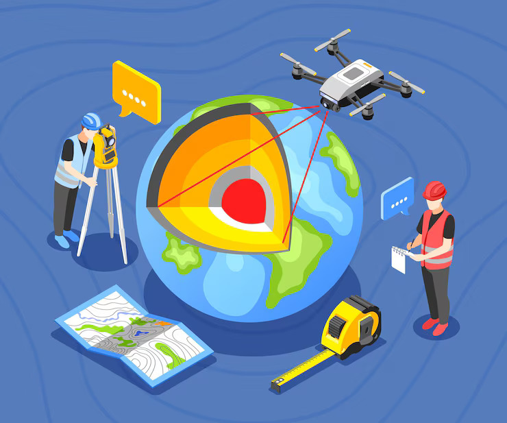
Geospatial Intelligence is the integration of spatial data—such as satellite imagery, aerial photography, and maps—with real-time analytics. When combined with technologies like GIS (Geographic Information Systems) and remote sensing tools, this intelligence provides a real-time view of crisis zones, enabling faster decisions and better outcomes.
In the wake of a disaster, every minute counts. Whether it’s identifying collapsed buildings, flooded streets, or blocked evacuation routes, rapid assessment is essential. Geospatial Intelligence allows emergency teams to evaluate the extent of damage using high-resolution satellite imagery and drone data, often within hours.
For instance, following the 2023 Turkey-Syria earthquake, remote sensing satellites provided critical data within the first 24 hours—helping teams locate affected populations and prioritize rescue operations. This kind of visual, time-sensitive data is transforming how first responders approach crises.
Disasters are multi-dimensional and require the coordination of multiple stakeholders—emergency services, local governments, utility companies, NGOs, and international aid organizations. Geospatial technologies streamline this coordination by offering a common operational picture.
Interactive dashboards allow all parties to visualize the same real-time data—such as affected zones, population density, road closures, and shelter locations. This shared visibility improves clarity, eliminates duplication of efforts, and ensures more equitable resource distribution.
In disaster-hit areas, navigating through debris, flooded roads, or collapsed infrastructure can delay life-saving aid. Geospatial technologies help optimize deployment routes by combining live traffic feeds with hazard maps and terrain data.
This routing intelligence ensures that ambulances, fire brigades, or relief trucks can reach critical zones in the shortest time possible—saving lives, reducing chaos, and enabling quicker stabilization.
The real power of Geospatial Intelligence lies not just in response—but in prevention.
By analyzing historical disaster data, population growth, topographical maps, and weather models, geospatial platforms can identify high-risk zones long before a disaster hits. For example, GIS systems can:
This foresight empowers city planners and policymakers to build more resilient infrastructure and prepare communities in advance.
Remote sensing devices—such as seismometers, water gauges, and weather balloons—can feed real-time data into GIS platforms. When thresholds are breached, automated alerts are triggered to warn authorities and communities.
For example, a geospatially-integrated flood early warning system in Bangladesh has reduced mortality by over 65% in flood-affected districts in the last five years. That’s the difference that data-backed decision-making can make.
In a coastal city in India, a severe cyclone wiped out major communication towers, cutting off mobile networks for over 2 million people. Within hours, a geospatial dashboard created from drone and satellite imagery revealed the extent of the damage.
Using Geospatial Intelligence, teams planned deployment of temporary mobile towers on wheels—identifying optimal placements based on terrain, user density, and infrastructure access. With real-time route optimization, equipment reached the sites despite road blockages. Result? Partial network restoration in just 48 hours.
This rapid restoration not only reconnected families and responders—it also enabled digital relief services like mobile banking and telehealth consultations for stranded citizens.
Once the immediate danger has passed, geospatial technologies continue to play a critical role.
Insurers and governments rely on geospatial data to estimate damage and disburse relief funds. Remote sensing eliminates the need for manual inspections, speeding up claims processing and ensuring transparency.
By studying post-disaster geospatial data, cities can identify vulnerabilities and plan future-proof solutions. For example:
These insights help communities rebuild stronger, smarter, and more sustainably.
Also read our blog https://www.hituponviews.com/transform-data-into-insights-with-advanced-visualization-services/
Why Magnasoft Believes in the Future of Geospatial for Disaster Management
At Magnasoft, we believe that Geospatial Intelligence is the cornerstone of resilient societies. Our expertise in geospatial technologies, mobile mapping, and AI-powered analytics empowers disaster management teams with:
We don’t just deliver data—we deliver actionable intelligence. From planning to response to recovery, our end-to-end geospatial solutions are designed to make every second count in a crisis.
As the climate crisis deepens and urban populations swell, the frequency and complexity of disasters will rise. But with Geospatial Intelligence as a core part of your disaster management strategy, you can shift from uncertainty to preparedness, from chaos to coordination.
The question isn’t if you should adopt geospatial tools—it’s how fast you can integrate them into your emergency frameworks.
Because in disaster response, timing is everything—and data is your greatest asset.
Ready to strengthen your disaster preparedness with geospatial insight?
Let Magnasoft help you build a future that’s ready for anything.